Words By: Simon Coward
It is certainly no secret that we are going through a pretty epic avalanche cycle and period of instability. Videos, pictures and social media posts have been prolific and those in the avalanche industry have been doing an amazing job of keeping the public informed, and in turn, allowing us to all make good, safe decisions.
So, it was with all this information and a deep sense of intrigue that we headed out to 93N this past Monday with a High, High, High avalanche hazard. As an AST instructor, I teach on a nearly weekly basis the principal that the conditions dictate your terrain choices and in turn your mindset when heading into the hills. So, having the information we had, our mindset was one of “OK, we are not going into avalanche terrain, but we really want to see what destruction has happened and in turn, give us an up-close look at where avalanches can run in an area we often ski/ride”

PHOTO: Morning mist over Mosquito Creek - Hwy 93N | credit: Tim Shaw
During our day we were not disappointed! Wow, everything that has been posted is real, and in some cases barely scratched the surface. Seeing it first hand was incredibly humbling. Basically, entire mountainsides (on all aspects and elevations) have essentially shed their whole winter snowpack. The Molar Pass/meadows area was basically a debris pile in the valley bottom, the backside of Watermelon peak had a 1.5 + meter deep crown that stretched unbroken for over 1km. Most of the Mosquito Creek avy paths (off Noseeum Peak) had run full path and in one case, uphill on the other side of the valley (obliterating the often used uptrack under 2 metres of snow, and in it 30-year-old trees snapped like twigs). We more closely inspected 1 debris pile and we figured it was over 4 metres deep.
The crazy thing was the overwhelming scent of spruce in the air, at first it didn’t register, but it quickly dawned on us that this was the smell from all the broken trees. Many which were 30+ years old. Let’s just say there are some new short gladed runs off the lower north slopes of Noseeum.
Our trip took us to the back of the Mosquito creek valley, carefully navigating through the trees to prevent overhead exposure.

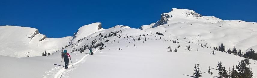
PHOTO: Bluebird skies, mellow terrain and some amazing views | credit: Alison Mcpherson
Our high point got us just to the alpine in very low angle, supported terrain where we were treated to a blue bird day and some super fun, low angle riding. Though, the turns were secondary to the learning we took from the day. Seeing where and how large avalanches run in these conditions, the depth and destructive forces involved can really help keep us grounded and create an excellent awareness as to how to travel in avalanche terrain even in less sketchy conditions than we are seeing right now.

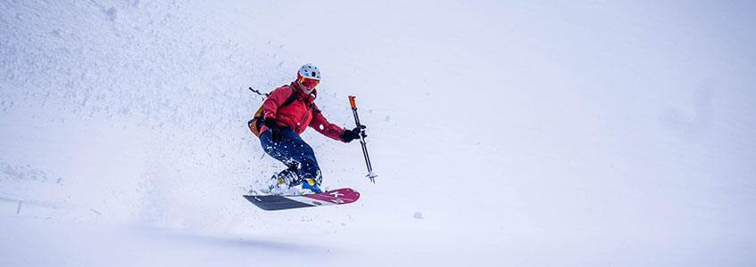
PHOTO: Mellow turns on a sketchy day. Somehow they feel really well earned on days with challenging conditions | credit: Alison Mcpherson

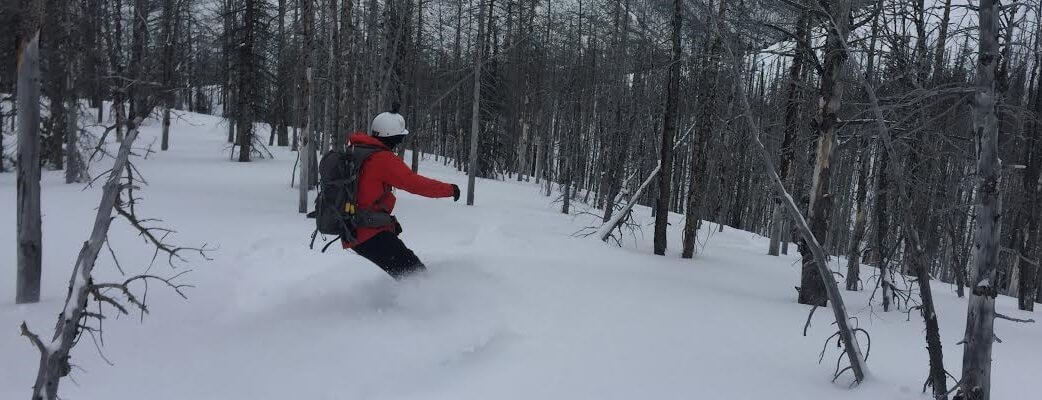
PHOTO: Some more fun terrain from the day

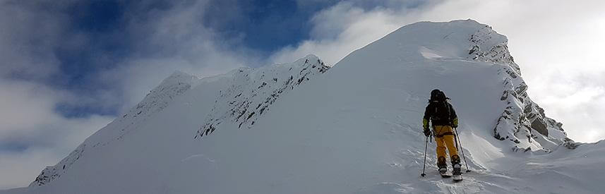
PHOTO: Track shot from our second lap of the day
The riding was super chill, but this #mondayfunday was one of the most memorable I have had in the mountains in a very long time.
Play safe, keep learning and here is hoping this translates to a stable and fun Spring season
Simon